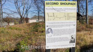
For a few days in July 1864 and after falling back from fighting in and around Smyrna, Gen. Joseph Johnston’s Confederate troops took up positions along the northern banks of the Chattahoochee River. The four-mile-long line ran between the confluence of Nickajack Creek and the Chattahoochee River on the west and the Western & Atlantic railroad bridge across the river to the east.
What made the line so formidable was the creation of Brigadier Gen. Francis Shoup. His plan called for three dozen earthen forts shaped like arrowheads – as they are often described – that were large enough to hold 80 soldiers and allow them to fire shots to the right, left and straight ahead as the enemy approached. The design came to be known as “Shoupades.”
For reinforcement, the Shoupades featured exterior and interior reinforced with logs.
Sherman later wrote of the line: “It was one of the strongest pieces of field fortifications I ever saw.” A marker along the lines notes: “In 1935 their formidable character was still visible along Oakdale Rd., & just above the State R. R.”
The purpose of the River Line was to stop the Union advance. In that regard, it failed as Sherman flanked and crossed the Chattahoochee River near Soap Creek; Confederate soldiers abandoned their positions and dropped back into Atlanta. Soon after, Confederate President Jefferson Davis replaced Johnston with Gen. John Bell Hood.
While most of the Shoupades were destroyed over the years, the city of Smyrna, through an agreement with a developer, helped preserve one of the works. Cobb County has purchased other land with the remains of the River Line – land that is to be developed into a park.
